 Ridgeflow
Denniston Brakehead walks
West Coast · New Zealand
Distance1.6 km (1 mi)along the line
Climb22 m (72 ft)29 m (95 ft) down
High point579 m (1,900 ft)lowest 555 m (1,821 ft)
DOC's time5 min | 1 hras DOC publishes it
Walking time26 minone way, moving, our estimate
GradeEasyDOC
Elevation profile
Map
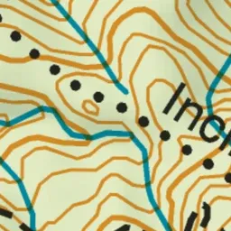
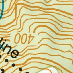

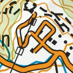

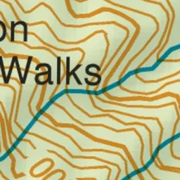
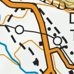
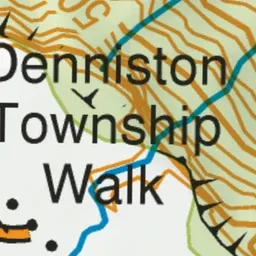
Pink: the track.
About the track
Take a historic walk on the same tracks that residents and miners used over a hundred years ago and explore the many relics still present.
Denniston Brakehead walks on DOC's website, for track alerts, bookings and closures.