 Ridgeflow
Derek Turnbull Track
Southland · New Zealand
Distance4.5 km (2.8 mi)all 2 sections
Climb107 m (351 ft)180 m (591 ft) down
High point266 m (873 ft)lowest 119 m (390 ft)
DOC's time4 hr returnas DOC publishes it
GradeEasiestDOC
This track is mapped in 2 separate sections, so there is no single profile or walking time. Climb is added up section by section.
Map
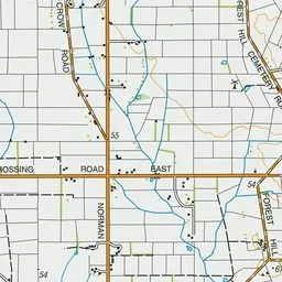
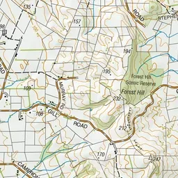
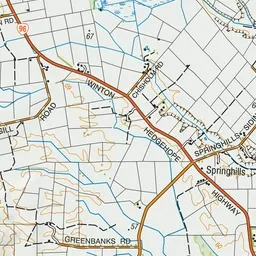
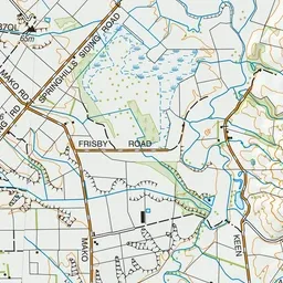
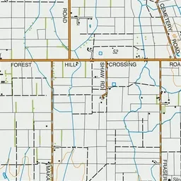
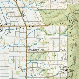
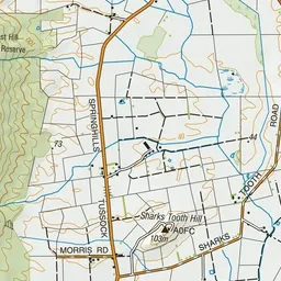
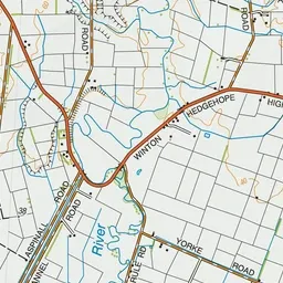
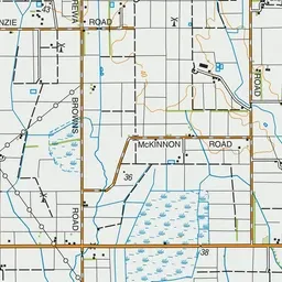
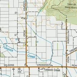
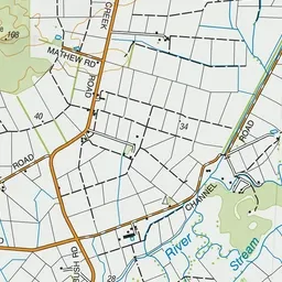
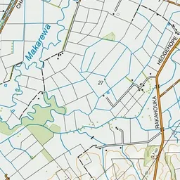
Pink: the track.
About the track
Just a short drive from Invercargill, this track is well gravelled and graded. You'll see ancient podocarps, abundant birdlife and weather worn limestone boulders.
Derek Turnbull Track on DOC's website, for track alerts, bookings and closures.