 Ridgeflow
Dingle Burn Peninsula Track
Otago · New Zealand
Distance12 km (7.5 mi)along the line
Climb378 m (1,240 ft)382 m (1,253 ft) down
High point490 m (1,608 ft)lowest 349 m (1,145 ft)
DOC's time3 -4 hr one wayas DOC publishes it
Walking time3 h 38 minone way, moving, our estimate
GradeEasyDOC
Elevation profile
Map
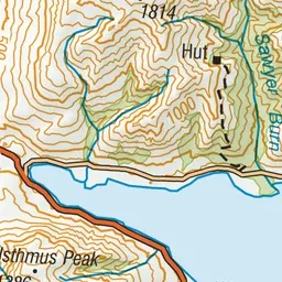
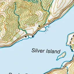
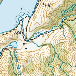
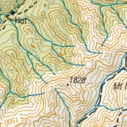
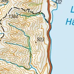
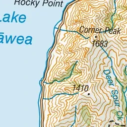
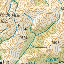
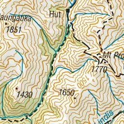
Pink: the track. Green dot: the start.
About the track
The Dingle Burn Peninsula Track is a pleasant walk to the Turihuka Conservation Area. It also provides access into Hāwea Conservation Park via the Dingle Burn and Hunter River Tracks.
Dingle Burn Peninsula Track on DOC's website, for track alerts, bookings and closures.