 Ridgeflow
Dingle Burn Track
Otago · New Zealand
Distance46.8 km (29.1 mi)along the line
Climb2,609 m (8,560 ft)2,174 m (7,133 ft) down
High point1,453 m (4,767 ft)lowest 349 m (1,145 ft)
DOC's time3 - 4 daysas DOC publishes it
Walking time16 h 3 minone way, moving, our estimate
GradeAdvancedDOC
Elevation profile
Map
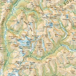
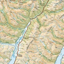
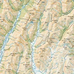
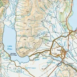
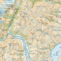
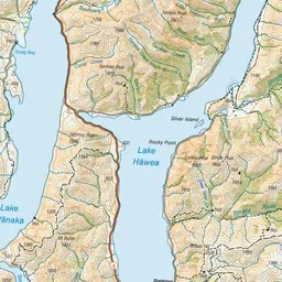
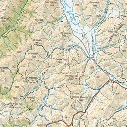
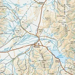
Pink: the track. Green dot: the start. Orange: huts.
About the track
A three to four-day hiking track through an upland valley in Hāwea Conservation Park. It also provides access to Ahuriri Conservation Park. The track can be walked from either end.
Huts on or near the track
- Cotters Hut (733 m)
- Bush Hut (485 m)
- Top Dingle Hut (908 m)
Dingle Burn Track on DOC's website, for track alerts, bookings and closures.