 Ridgeflow
Dobson Loop Track
Wellington · New Zealand
Distance11.6 km (7.2 mi)along the line
Climb718 m (2,356 ft)613 m (2,011 ft) down
High point653 m (2,142 ft)lowest 199 m (653 ft)
DOC's time5.5 hr (return to Smith Creek Shelter)as DOC publishes it
Walking time4 h 6 minone way, moving, our estimate
GradeEasy, AdvancedDOC
Elevation profile
Map
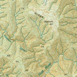
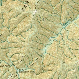
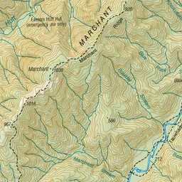
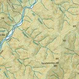
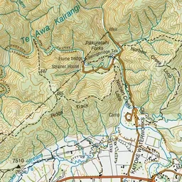
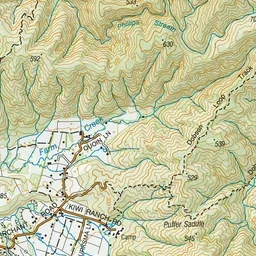
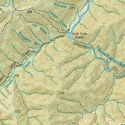
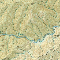
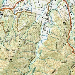
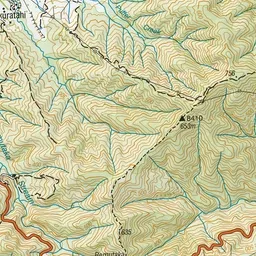
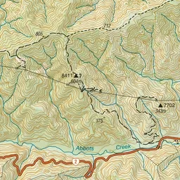
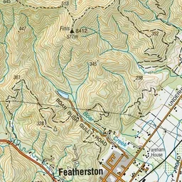
Pink: the track.
About the track
This track provides two day-walking options: a return trip to Smith Creek via Puffer Saddle, or a more challenging and longer loop track
Dobson Loop Track on DOC's website, for track alerts, bookings and closures.