 Ridgeflow
Dobson Nature Walk
Canterbury · New Zealand
Distance0.5 km (0.3 mi)along the line
Climb40 m (131 ft)15 m (49 ft) down
High point936 m (3,071 ft)lowest 896 m (2,940 ft)
DOC's time30 minas DOC publishes it
Walking time11 minone way, moving, our estimate
GradeEasiestDOC
Elevation profile
Map


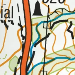
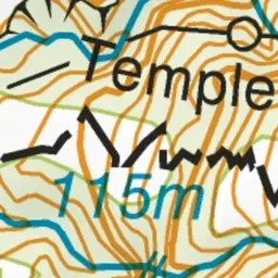
Pink: the track. Green dot: the start.
About the track
Enjoy interpretation points along this walk and seats with good views of the surrounding mountains.
Dobson Nature Walk on DOC's website, for track alerts, bookings and closures.