 Ridgeflow
Donnelly Flat Loop Walk
Wellington · New Zealand
Distance3.1 km (1.9 mi)along the line
Climb40 m (131 ft)24 m (79 ft) down
High point357 m (1,171 ft)lowest 318 m (1,043 ft)
DOC's time1 hras DOC publishes it
Walking time51 minone way, moving, our estimate
GradeEasyDOC
Elevation profile
Map
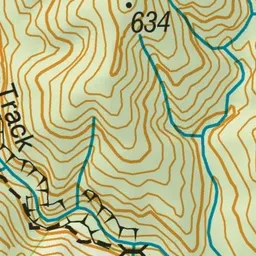
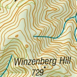
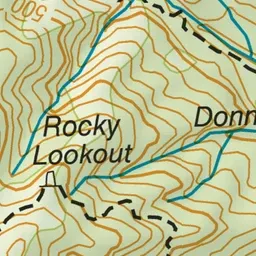
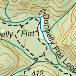
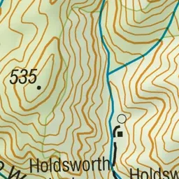
Pink: the track. Blue: campsites.
About the track
The track to Donnelly Flat passes through some of the best mixed podocarp/broadleaf forest in the Tararua Range - this short, easy walk with a picnic area and stream on route is an great option for kids.
Campsites
- Holdsworth Campsite (315 m)
Donnelly Flat Loop Walk on DOC's website, for track alerts, bookings and closures.