 Ridgeflow
Doubtful Valley Track
Canterbury · New Zealand
Distance17 km (10.6 mi)all 3 sections
Climb45 m (148 ft)514 m (1,686 ft) down
High point1,003 m (3,291 ft)lowest 522 m (1,713 ft)
DOC's time5 hr 30 minas DOC publishes it
GradeAdvancedDOC
This track is mapped in 3 separate sections, so there is no single profile or walking time. Climb is added up section by section.
Map
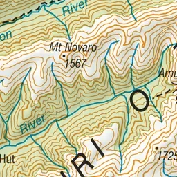
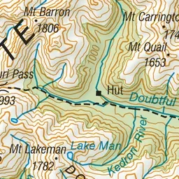
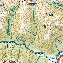
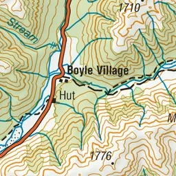
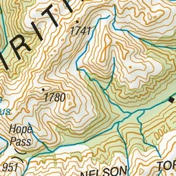
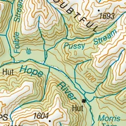
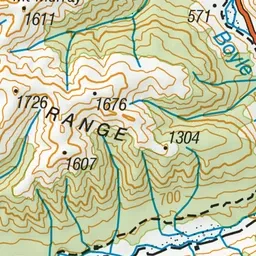
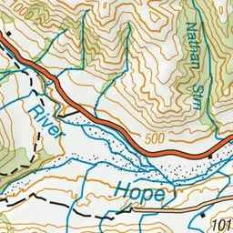
Pink: the track. Orange: huts.
About the track
Doubtful Valley Track follows the Doubtful River to Amuri Pass with two huts on the way. The Lake Man and Devilskin Saddle Routes branch off this track.
Huts on or near the track
- Doubtful Hut (620 m)
- Doubtless Hut (711 m)
Doubtful Valley Track on DOC's website, for track alerts, bookings and closures.