 Ridgeflow
Douglas Range
Tasman · New Zealand
Distance32.9 km (20.4 mi)all 2 sections
Climb1,529 m (5,016 ft)1,119 m (3,671 ft) down
High point1,377 m (4,518 ft)lowest 51 m (167 ft)
DOC's time5-7 daysas DOC publishes it
GradeExpertDOC
This track is mapped in 2 separate sections, so there is no single profile or walking time. Climb is added up section by section.
Map
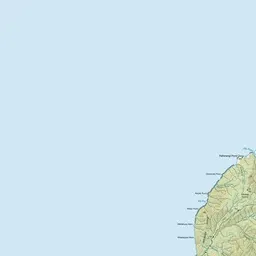
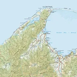
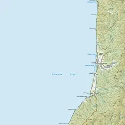
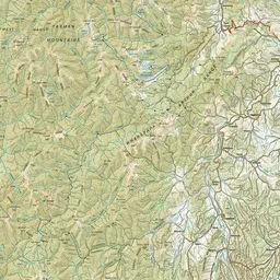
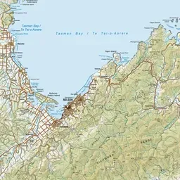
Pink: the track. Orange: huts.
About the track
The route links the Aorere and Cobb valleys in Golden Bay. It is unmarked and suitable for hikers with a high degree of fitness and off-track experience.
Huts on or near the track
- Cobb Hut (1021 m)
- Chaffey Hut (886 m)
- Trilobite Hut (835 m)
- Boulder Lake Hut (997 m)
- Fenella Hut (1106 m, bookable)
- Tent Camp (936 m)
Douglas Range on DOC's website, for track alerts, bookings and closures.