 Ridgeflow
Dry Acheron Track
Canterbury · New Zealand
Distance7.8 km (4.9 mi)along the line
Climb288 m (945 ft)89 m (292 ft) down
High point678 m (2,224 ft)lowest 409 m (1,342 ft)
Walking time2 h 26 minone way, moving, our estimate
GradeAdvanced, ExpertDOC
Elevation profile
Map
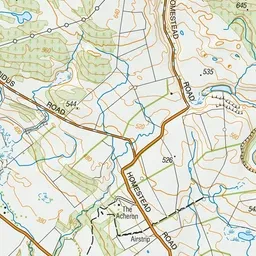
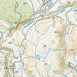
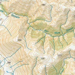
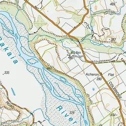
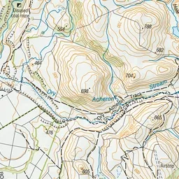
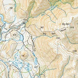
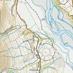
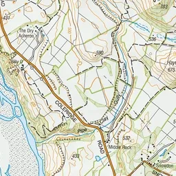
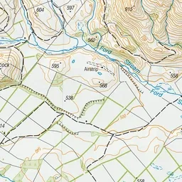
Pink: the track. Green dot: the start.
About the track
Access to Dry Acheron Stream and the two covenant areas is provided courtesy of the Dry Acheron and Big Ben station owners.
Dry Acheron Track on DOC's website, for track alerts, bookings and closures.