 Ridgeflow
Dusky Track
Southland · New Zealand
Distance50.2 km (31.2 mi)along the line
Climb2,495 m (8,186 ft)2,419 m (7,936 ft) down
High point1,100 m (3,609 ft)lowest 42 m (138 ft)
DOC's time8- 10 daysas DOC publishes it
Walking time16 h 42 minone way, moving, our estimate
GradeAdvancedDOC
Elevation profile
Map
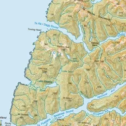
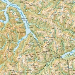
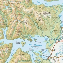
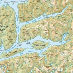
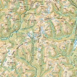
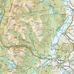
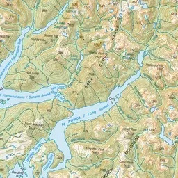

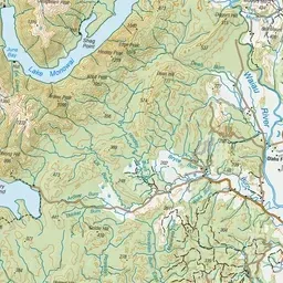
Pink: the track. Orange: huts.
About the track
This difficult hiking track between Lake Hauroko and Lake Manapouri offers huge lakes, gushing rivers, vast forested valleys and lots of mud for experienced and well equipped hikers.
Huts on or near the track
- Upper Spey Hut (445 m)
- Hauroko Burn Hut (159 m)
- Lake Roe Hut (874 m)
- Halfway Hut (338 m)
- Kintail Hut (281 m)
- Loch Maree Hut (48 m)
Dusky Track on DOC's website, for track alerts, bookings and closures.