 Ridgeflow
Dusky Trail
Canterbury · New Zealand
Distance23.1 km (14.4 mi)all 3 sections
Climb374 m (1,227 ft)390 m (1,280 ft) down
High point843 m (2,766 ft)lowest 519 m (1,703 ft)
DOC's time7-8 hras DOC publishes it
GradeAdvancedDOC
This track is mapped in 3 separate sections, so there is no single profile or walking time. Climb is added up section by section.
Map
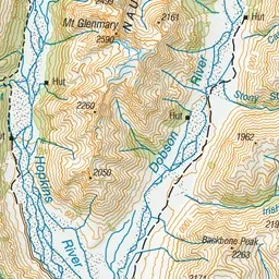
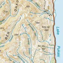
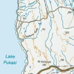
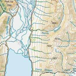
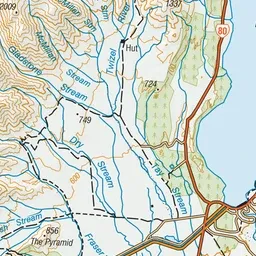
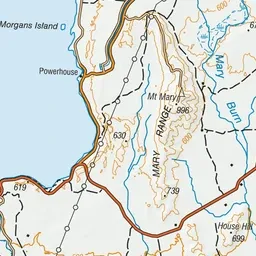
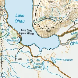
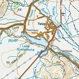
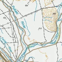
Pink: the track.
About the track
Trace the Fraser Stream into the foot of the Ben Ohau Range then traverse the Old Dusky Block to follow the Gladstone and Twizel rivers back out to the Mt Cook Highway.
Dusky Trail on DOC's website, for track alerts, bookings and closures.