 Ridgeflow
Earnscleugh Tailings Track
Otago · New Zealand
Distance5.2 km (3.2 mi)along the line
Climb31 m (102 ft)41 m (135 ft) down
High point160 m (525 ft)lowest 132 m (433 ft)
DOC's time30 min or 2 - 3 hras DOC publishes it
Walking time1 h 21 minone way, moving, our estimate
GradeEasyDOC
Elevation profile
Map
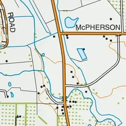
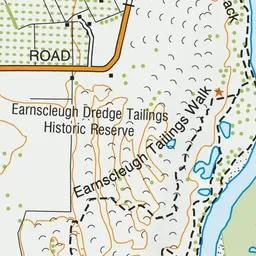
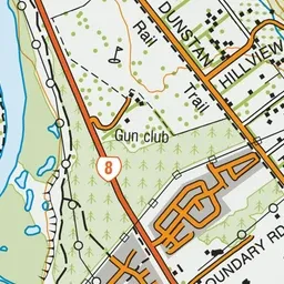
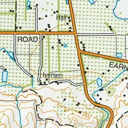
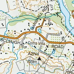
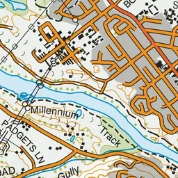
Pink: the track.
About the track
The tailings on this walk are nationally significant as the only complete record of dredging activity from 1863 to 1963. They're an awe inspiring sight, hundreds of metres wide like a giant’s ploughed field.
Earnscleugh Tailings Track on DOC's website, for track alerts, bookings and closures.