 Ridgeflow
East Matukituki Valley tracks
Otago · New Zealand
Distance20.3 km (12.6 mi)all 3 sections
Climb1,204 m (3,950 ft)711 m (2,333 ft) down
High point1,015 m (3,330 ft)lowest 339 m (1,112 ft)
DOC's time3–4 hras DOC publishes it
GradeAdvancedDOC
This track is mapped in 3 separate sections, so there is no single profile or walking time. Climb is added up section by section.
Map
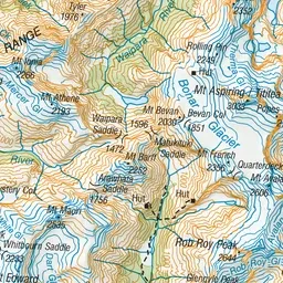
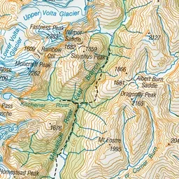
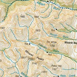
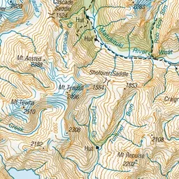
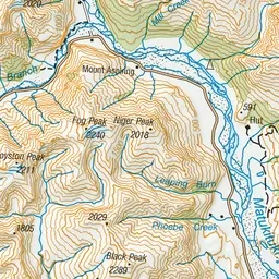
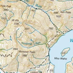
Pink: the track.
About the track
The East Matukituki Valley provides interesting day walks and access to several demanding hiking and climbing routes in Mount Aspiring National Park.
East Matukituki Valley tracks on DOC's website, for track alerts, bookings and closures.