 Ridgeflow
Eastern Ōkataina Walkway
Bay of Plenty · New Zealand
Distance9 km (5.6 mi)along the line
Climb304 m (997 ft)313 m (1,027 ft) down
High point439 m (1,440 ft)lowest 312 m (1,024 ft)
DOC's time3 hr one wayas DOC publishes it
Walking time2 h 45 minone way, moving, our estimate
GradeAdvancedDOC
Elevation profile
Map
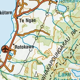
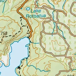
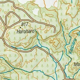
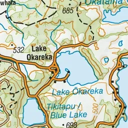
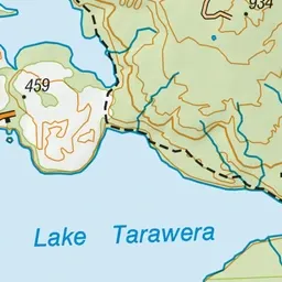
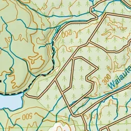
Pink: the track. Green dot: the start. Blue: campsites.
About the track
Enjoy splendid lake views through native bush with the option to branch off the track and head down to Lake Ōkataina at several bays.
Campsites
- Humphries Bay Campsite (304 m)
Eastern Ōkataina Walkway on DOC's website, for track alerts, bookings and closures.