 Ridgeflow
Elizabeth Hut Route
West Coast · New Zealand
Distance9.9 km (6.1 mi)along the line
Climb303 m (994 ft)858 m (2,815 ft) down
High point1,079 m (3,540 ft)lowest 316 m (1,037 ft)
DOC's time6 hras DOC publishes it
Walking time2 h 58 minone way, moving, our estimate
GradeExpertDOC
Elevation profile
Map
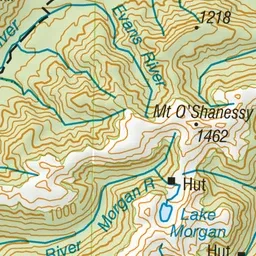
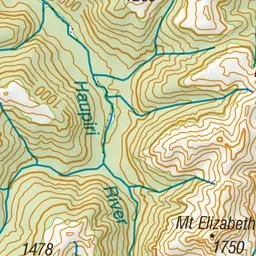
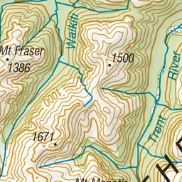
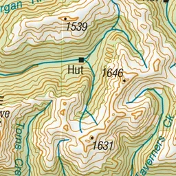
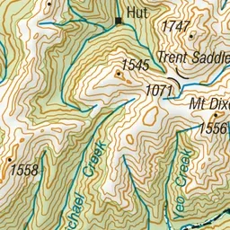
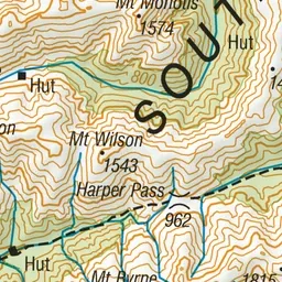
Pink: the track. Orange: huts.
About the track
A backcountry route that follows the Haupiri River to Elizabeth Hut, with further travel possible over the Trent Saddle.
Huts on or near the track
- Elizabeth Hut (491 m)
- Top Trent Hut/lagoon Hut (872 m)
Elizabeth Hut Route on DOC's website, for track alerts, bookings and closures.