 Ridgeflow
Fenceline Walk
Wellington · New Zealand
Distance2.7 km (1.7 mi)along the line
Climb205 m (673 ft)208 m (682 ft) down
High point261 m (856 ft)lowest 139 m (456 ft)
DOC's time1 hr 30 min - 2 hras DOC publishes it
Walking time1 h 1 minone way, moving, our estimate
GradeEasyDOC
Elevation profile
Map
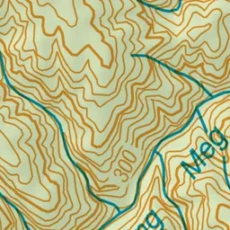
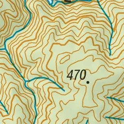

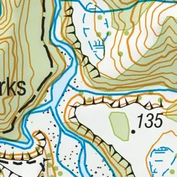
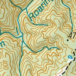
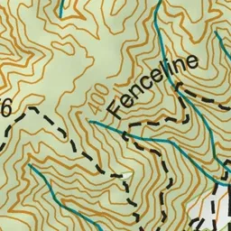
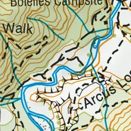
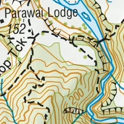
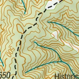
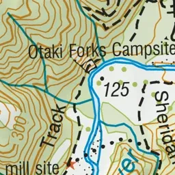
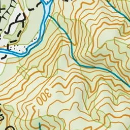
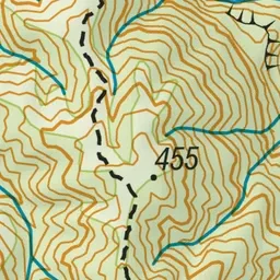
Pink: the track. Blue: campsites.
About the track
An easy walking track near Ōtaki. This track is part of Te Araroa Trail.
Campsites
- Ōtaki Forks Campsite (126 m)
Fenceline Walk on DOC's website, for track alerts, bookings and closures.