 Ridgeflow
Forest Walk
Southland · New Zealand
Distance0.7 km (0.5 mi)along the line
Climb0 m (0 ft)0 m (0 ft) down
High point37 m (121 ft)lowest 31 m (102 ft)
DOC's time30 minsas DOC publishes it
Walking time11 minone way, moving, our estimate
GradeEasiestDOC
Elevation profile
Map
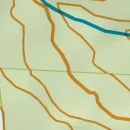
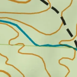
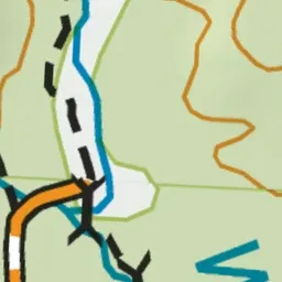

Pink: the track. Green dot: the start.
About the track
The Forest Walk is a wheelchair accessible track which winds through native bush and crosses the Waipohatu stream. It connects to the Waipohatu Waterfalls Track.
Forest Walk on DOC's website, for track alerts, bookings and closures.