 Ridgeflow
Forks Flat Track
Southland · New Zealand
Distance3.6 km (2.3 mi)along the line
Climb26 m (85 ft)22 m (72 ft) down
High point126 m (413 ft)lowest 100 m (328 ft)
DOC's time1 houras DOC publishes it
Walking time57 minone way, moving, our estimate
GradeEasyDOC
Elevation profile
Map
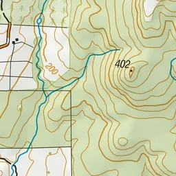
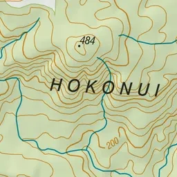
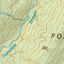
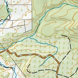
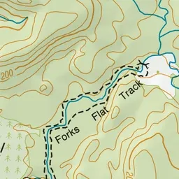
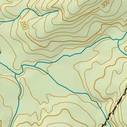
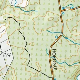
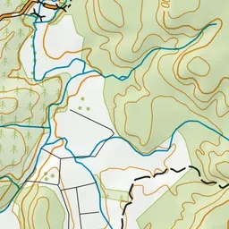
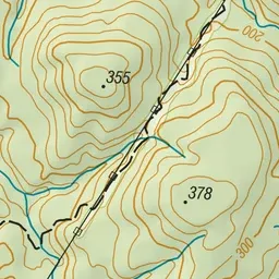
Pink: the track. Green dot: the start.
About the track
This gentle walking track follows the banks of the river through attractive native bush in Hokonui Forest.
Forks Flat Track on DOC's website, for track alerts, bookings and closures.