 Ridgeflow
Fossickers Lake Track
West Coast · New Zealand
Distance5.8 km (3.6 mi)along the line
Climb301 m (988 ft)317 m (1,040 ft) down
High point585 m (1,919 ft)lowest 455 m (1,493 ft)
DOC's time2-3 hras DOC publishes it
Walking time1 h 57 minone way, moving, our estimate
GradeEasyDOC
Elevation profile
Map
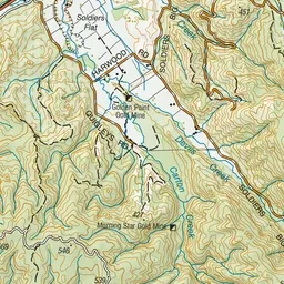
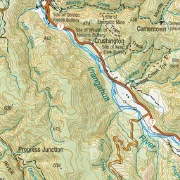
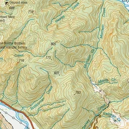
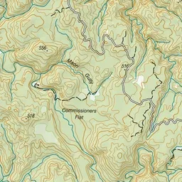
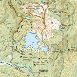
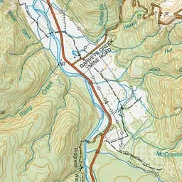
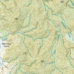
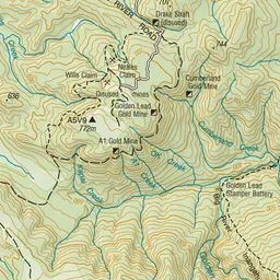
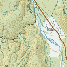
Pink: the track. Green dot: the start.
About the track
The track loops around the Globe Progress Mine's former tailings storage facility, known as Fossickers Lake.
Fossickers Lake Track on DOC's website, for track alerts, bookings and closures.