 Ridgeflow
Foveaux Walkway
Southland · New Zealand
Distance3.9 km (2.4 mi)along the line
Climb25 m (82 ft)65 m (213 ft) down
High point61 m (200 ft)lowest 8 m (26 ft)
DOC's time2 hr returnas DOC publishes it
Walking time1 h 1 minone way, moving, our estimate
GradeEasiestDOC
Elevation profile
Map
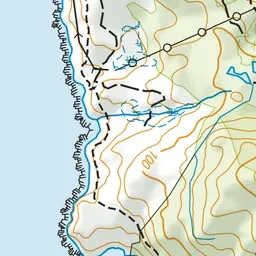
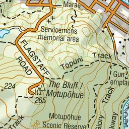
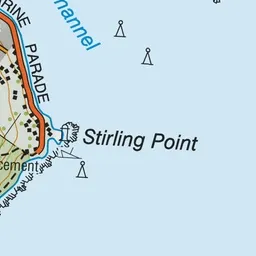
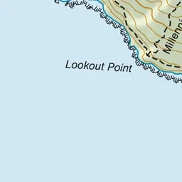
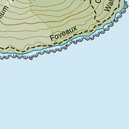

Pink: the track. Green dot: the start.
About the track
An easy, well-paved track to Lookout Point following the Motupohue (Bluff) coastline. This track is part of Te Araroa Trail.
Foveaux Walkway on DOC's website, for track alerts, bookings and closures.