 Ridgeflow
Fowlers Pass Track
Canterbury · New Zealand
Distance15.4 km (9.5 mi)along the line
Climb425 m (1,394 ft)561 m (1,841 ft) down
High point1,294 m (4,245 ft)lowest 811 m (2,661 ft)
DOC's time5 hr 30 minas DOC publishes it
Walking time4 h 33 minone way, moving, our estimate
GradeAdvancedDOC
Elevation profile
Map
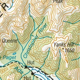
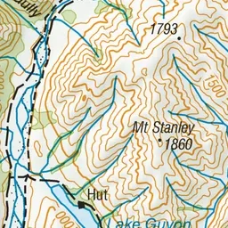
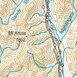
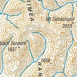
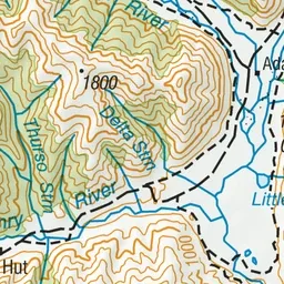
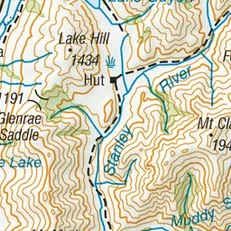
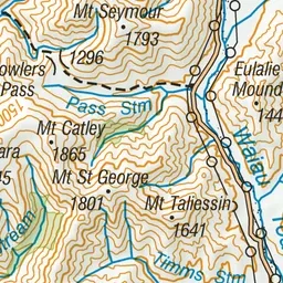
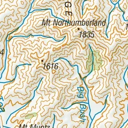
Pink: the track. Green dot: the start. Orange: huts.
About the track
Fowlers Pass (1296 m) connects Fowlers Hut on Tophouse Road with Stanley Vale and Lake Guyon huts in the St James Conservation Area.
Huts on or near the track
- Lake Guyon Hut (814 m)
Fowlers Pass Track on DOC's website, for track alerts, bookings and closures.