 Ridgeflow
French Pass Lookout Track
Marlborough · New Zealand
Distance0.7 km (0.4 mi)along the line
Climb96 m (315 ft)111 m (364 ft) down
High point82 m (269 ft)lowest 9 m (30 ft)
DOC's time10 minas DOC publishes it
Walking time22 minone way, moving, our estimate
GradeEasiestDOC
Elevation profile
Map

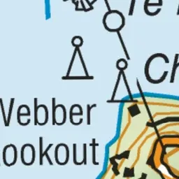

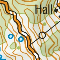
Pink: the track.
About the track
This track takes you to a viewpoint over historic Te Aumiti/French Pass, where the tide rushes back and forth like a river.
French Pass Lookout Track on DOC's website, for track alerts, bookings and closures.