 Ridgeflow
Freshwater Landing to Mason Bay
Southland · New Zealand
Distance14.8 km (9.2 mi)along the line
Climb72 m (236 ft)57 m (187 ft) down
High point59 m (194 ft)lowest 5 m (16 ft)
DOC's time4 hr one wayas DOC publishes it
Walking time3 h 50 minone way, moving, our estimate
GradeAdvancedDOC
Elevation profile
Map
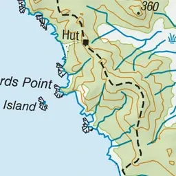
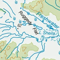
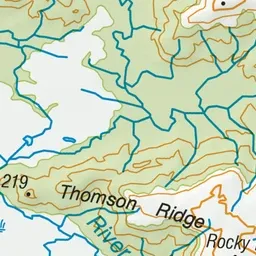
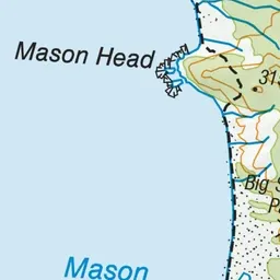
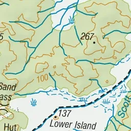
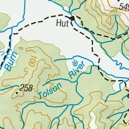
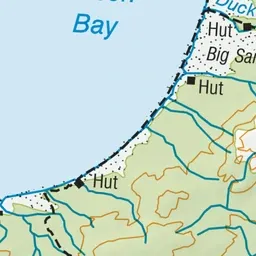
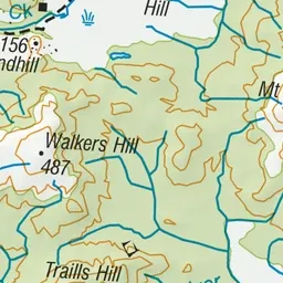
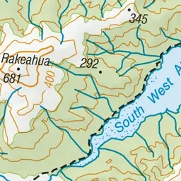
Pink: the track. Green dot: the start. Orange: huts.
About the track
Backcountry walk over flat tussock wetland and mānuka country to Mason Bay which has one of the most extensive inland dune systems in the Southern Hemisphere.
Huts on or near the track
- Mason Bay Hut (18 m)
- Freshwater Hut (20 m)
Freshwater Landing to Mason Bay on DOC's website, for track alerts, bookings and closures.