 Ridgeflow
Gertrude Saddle Route
Southland · New Zealand
Distance4.3 km (2.7 mi)along the line
Climb623 m (2,044 ft)11 m (36 ft) down
High point1,409 m (4,623 ft)lowest 794 m (2,605 ft)
DOC's time4-6 hras DOC publishes it
Walking time2 h 7 minone way, moving, our estimate
GradeExpertDOC
Elevation profile
Map
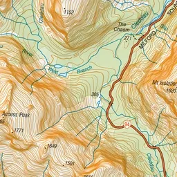
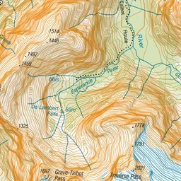
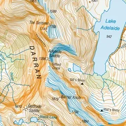
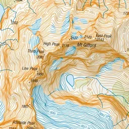
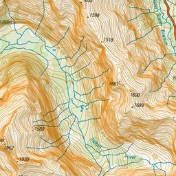
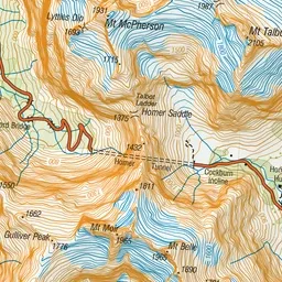
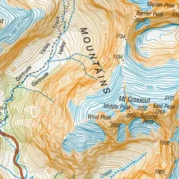
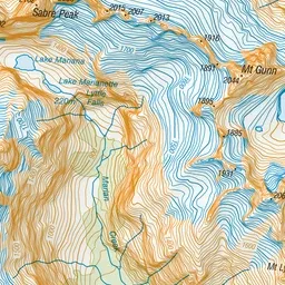
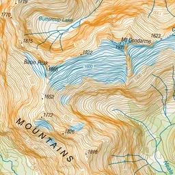
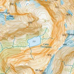
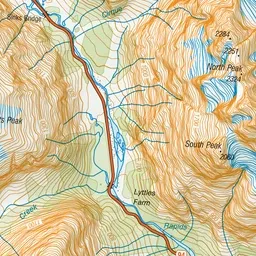
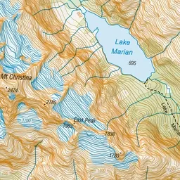
Pink: the track. Green dot: the start.
About the track
Gertrude Saddle includes rocky alpine terrain and should only be attempted by experienced hikers and in good weather. Wet weather, snow or ice create treacherous conditions in any season.
Gertrude Saddle Route on DOC's website, for track alerts, bookings and closures.