 Ridgeflow
Gillespie Pass Circuit
Otago · New Zealand
Distance64.8 km (40.3 mi)all 2 sections
Climb2,558 m (8,392 ft)2,339 m (7,674 ft) down
High point1,606 m (5,269 ft)lowest 301 m (988 ft)
DOC's time3 - 4 daysas DOC publishes it
GradeAdvancedDOC
This track is mapped in 2 separate sections, so there is no single profile or walking time. Climb is added up section by section.
Map
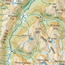
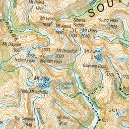
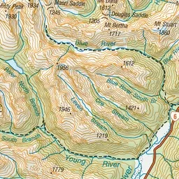
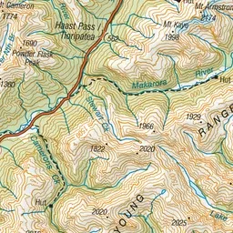
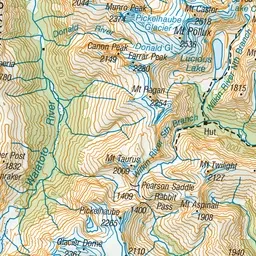
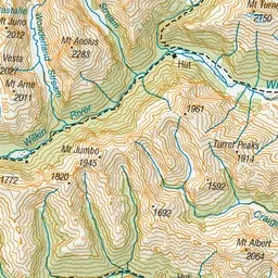
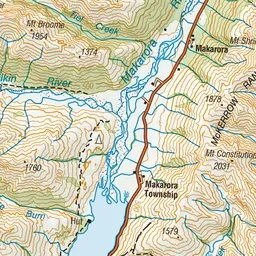
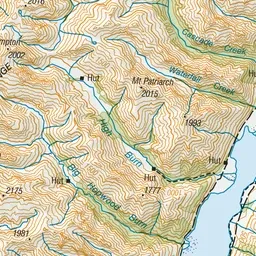
Pink: the track. Orange: huts. Blue: campsites.
About the track
This excellent circuit for experienced parties provides spectacular mountain scenery, alpine vegetation and river valleys filled with silver beech/tawhai. You can also do a side trip to Crucible Lake.
Huts on or near the track
- Siberia Hut (626 m, bookable)
- Kerin Forks Hut (344 m)
- Young Hut (743 m, bookable)
- Top Forks Hut (613 m)
Campsites
- Young Forks Campsite (410 m)
- Cameron Flat Campsite (362 m)
Gillespie Pass Circuit on DOC's website, for track alerts, bookings and closures.