 Ridgeflow
Goldsborough (Shamrock) Track
West Coast · New Zealand
Distance6.6 km (4.1 mi)along the line
Climb230 m (755 ft)299 m (981 ft) down
High point301 m (988 ft)lowest 81 m (266 ft)
DOC's time4 hr one wayas DOC publishes it
Walking time2 h 2 minone way, moving, our estimate
GradeAdvancedDOC
Elevation profile
Map
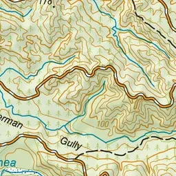
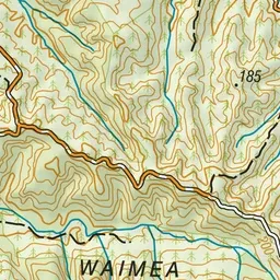
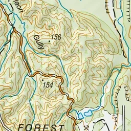
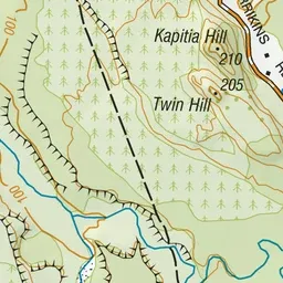
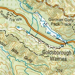
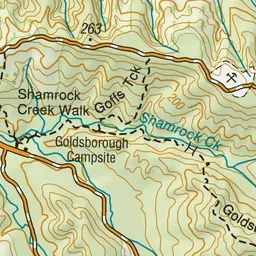
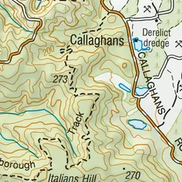
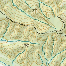
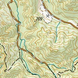
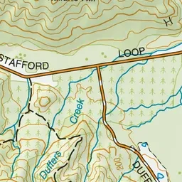
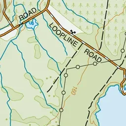
Pink: the track. Green dot: the start. Blue: campsites.
About the track
Walk through an historic gold mining area with mining tunnels, dams, sluice faces, tailings and water-races.
Campsites
- Goldsborough Campsite (83 m)
Goldsborough (Shamrock) Track on DOC's website, for track alerts, bookings and closures.