 Ridgeflow
Grandview Mountain Track
Otago · New Zealand
Distance8.6 km (5.4 mi)along the line
Climb17 m (56 ft)947 m (3,107 ft) down
High point1,385 m (4,544 ft)lowest 454 m (1,490 ft)
DOC's time4 - 6 hr returnas DOC publishes it
Walking time2 h 15 minone way, moving, our estimate
GradeAdvancedDOC
Elevation profile
Map
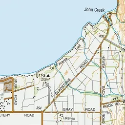
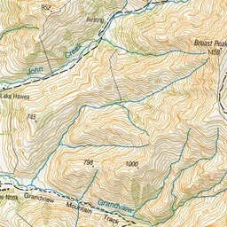
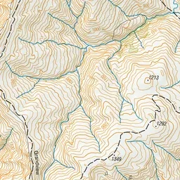
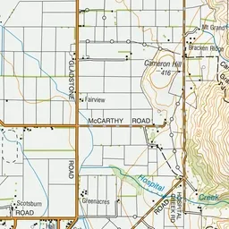
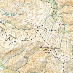
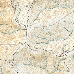
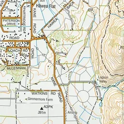
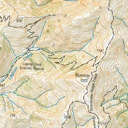
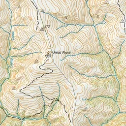
Pink: the track. Green dot: the start.
About the track
Hikers are well rewarded for their effort from the upper sections of the greater Grandview Range with inspiring views over Lakes Hāwea and Wānaka and mountains beyond.
Grandview Mountain Track on DOC's website, for track alerts, bookings and closures.