 Ridgeflow
Grants Knob Track
Southland · New Zealand
Distance2.7 km (1.7 mi)along the line
Climb32 m (105 ft)391 m (1,283 ft) down
High point600 m (1,969 ft)lowest 241 m (791 ft)
DOC's time1 hr 30 minas DOC publishes it
Walking time50 minone way, moving, our estimate
GradeAdvancedDOC
Elevation profile
Map
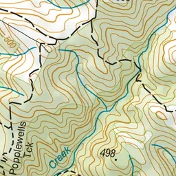
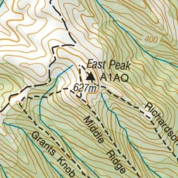
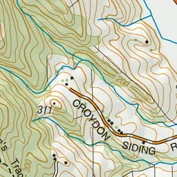
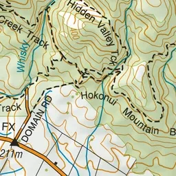
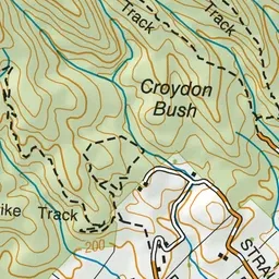
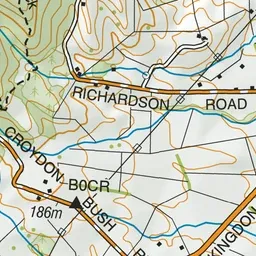
Pink: the track. Green dot: the start.
About the track
Grants Knob Track is an unmaintained hiking track at the eastern end of Croydon Bush Scenic Reserve.
Grants Knob Track on DOC's website, for track alerts, bookings and closures.