 Ridgeflow
Gray's Bush Scenic Reserve walks
Gisborne · New Zealand
Distance1 km (0.6 mi)along the line
Climb0 m (0 ft)0 m (0 ft) down
High point19 m (62 ft)lowest 17 m (56 ft)
DOC's time15 min - 1 hras DOC publishes it
Walking time15 minone way, moving, our estimate
GradeEasiestDOC
Elevation profile
Map
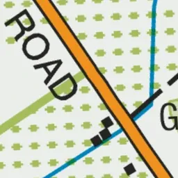
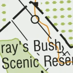
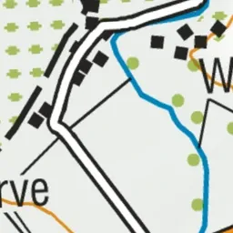
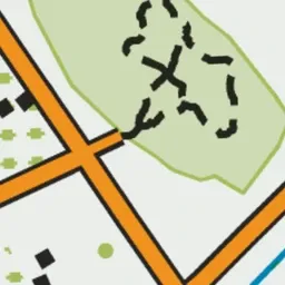
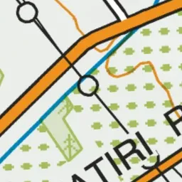
Pink: the track.
About the track
These walks pass through a remnant of the tall kahikatea (podocarp) forest which once covered much of the Gisborne plains - the shorter option is suitable for buggies and wheelchairs.
Gray's Bush Scenic Reserve walks on DOC's website, for track alerts, bookings and closures.