 Ridgeflow
Greenstone and Caples tracks
Otago · New Zealand
Distance58.6 km (36.4 mi)along the line
Climb1,381 m (4,531 ft)1,404 m (4,606 ft) down
High point991 m (3,251 ft)lowest 326 m (1,070 ft)
DOC's time4 daysas DOC publishes it
Walking time16 h 57 minone way, moving, our estimate
GradeIntermediateDOC
Elevation profile
Map
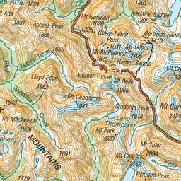
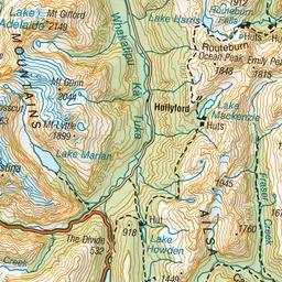
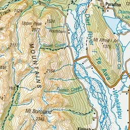
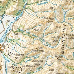
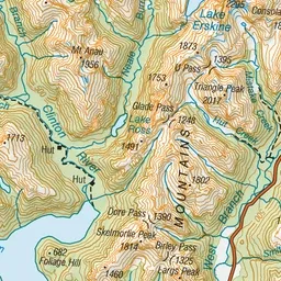
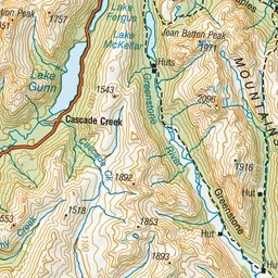
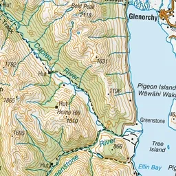
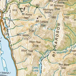
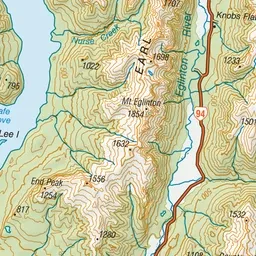
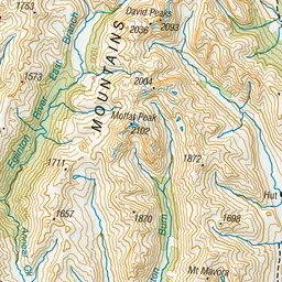
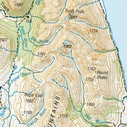
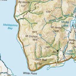
Pink: the track. Orange: huts. Blue: campsites.
About the track
The Caples and Greenstone tracks start from the car park at the end of Greenstone Road, 86 km from Queenstown, via Glenorchy. Alternatively, they can be started from Lake Howden outlet on the Routeburn Track.
Huts on or near the track
- Mid Caples Hut (418 m, bookable)
- Greenstone Hut (555 m, bookable)
- Mckellar Hut (622 m, bookable)
- Slip Flat Hut (460 m)
Campsites
- Greenstone Campsite (527 m)
- Mid Caples Campsite (418 m)
- Mckellar Campsite (622 m)
Greenstone and Caples tracks on DOC's website, for track alerts, bookings and closures.