 Ridgeflow
Greta Track
Canterbury · New Zealand
Distance15.6 km (9.7 mi)along the line
Climb945 m (3,100 ft)943 m (3,094 ft) down
High point1,396 m (4,580 ft)lowest 532 m (1,745 ft)
DOC's time6 to 7 hrs loopas DOC publishes it
Walking time5 h 29 minone way, moving, our estimate
GradeAdvancedDOC
Elevation profile
Map
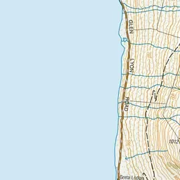
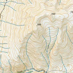
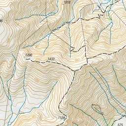
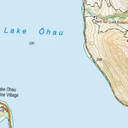
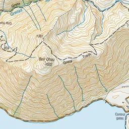
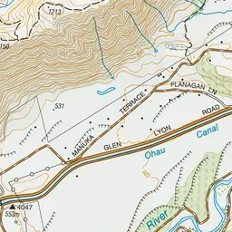
Pink: the track. Green dot: the start.
About the track
Pass by fellfields (blocky scree) and short rock bluffs above Gretas Stream. This track is close to Lake Ōhau.
Greta Track on DOC's website, for track alerts, bookings and closures.