 Ridgeflow
Hakarimata Summit Track
Waikato · New Zealand
Distance1.8 km (1.1 mi)along the line
Climb0 m (0 ft)338 m (1,109 ft) down
High point360 m (1,181 ft)lowest 22 m (72 ft)
DOC's time3 hras DOC publishes it
Walking time34 minone way, moving, our estimate
GradeEasyDOC
Elevation profile
Map
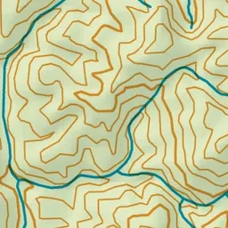
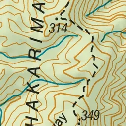
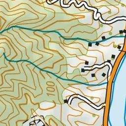

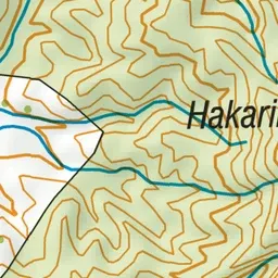
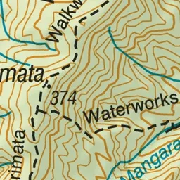
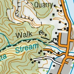

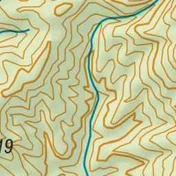
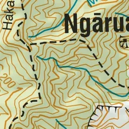
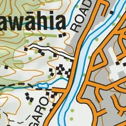
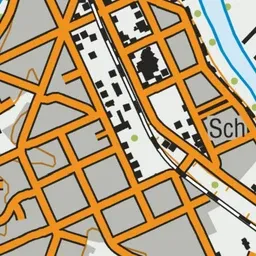
Pink: the track. Green dot: the start.
About the track
Climb to the summit of Hakarimata (374 m) and enjoy good views for the summit tower out towards the coast, across the Waikato Basin and down to Ruapehu. This track is part of Te Araroa Trail.
Hakarimata Summit Track on DOC's website, for track alerts, bookings and closures.