 Ridgeflow
Hakarimata Walkway
Waikato · New Zealand
Distance13.6 km (8.5 mi)all 7 sections
Climb905 m (2,969 ft)751 m (2,464 ft) down
High point364 m (1,194 ft)lowest 27 m (89 ft)
DOC's time7 hr 30 minas DOC publishes it
GradeAdvancedDOC
This track is mapped in 7 separate sections, so there is no single profile or walking time. Climb is added up section by section.
Map
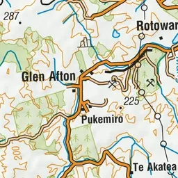
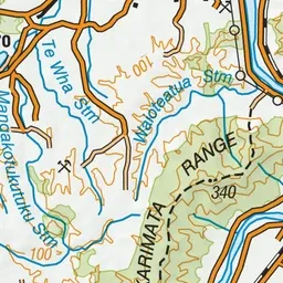
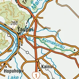
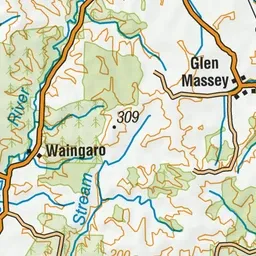
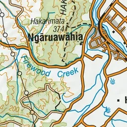
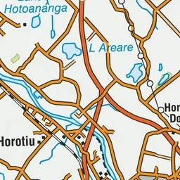
Pink: the track.
About the track
Walk the length of the Hakarimata Range and enjoy excellent views towards the coast and across the Waikato Basin. This track is part of Te Araroa Trail.
Hakarimata Walkway on DOC's website, for track alerts, bookings and closures.