 Ridgeflow
Hapuakohe Walkway
Waikato · New Zealand
Distance22.3 km (13.8 mi)along the line
Climb1,390 m (4,560 ft)1,476 m (4,843 ft) down
High point521 m (1,709 ft)lowest 134 m (440 ft)
DOC's time1-2 days one wayas DOC publishes it
Walking time7 h 53 minone way, moving, our estimate
GradeAdvancedDOC
Elevation profile
Map
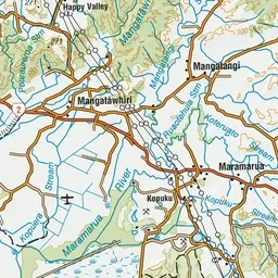
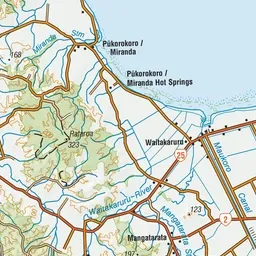
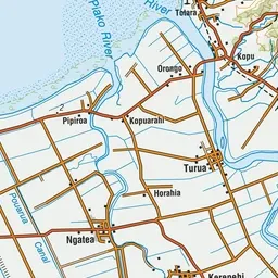
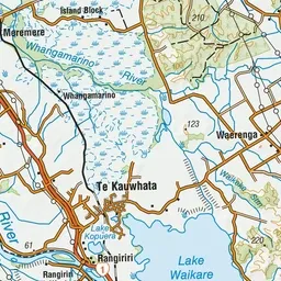
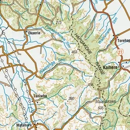
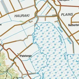
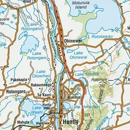
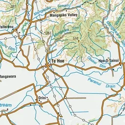
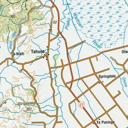
Pink: the track. Green dot: the start.
About the track
The Hapuakohe Walkway can be done as a 2-day trek, split by Ohinewai Road. Smaller sections can be completed within a day. It's suitable for experienced hikers only.
Hapuakohe Walkway on DOC's website, for track alerts, bookings and closures.