 Ridgeflow
Harataonga Coastal Walkway
Auckland · New Zealand
Distance11.2 km (6.9 mi)along the line
Climb475 m (1,558 ft)514 m (1,686 ft) down
High point146 m (479 ft)lowest 14 m (46 ft)
DOC's time4 - 5 hras DOC publishes it
Walking time3 h 35 minone way, moving, our estimate
GradeAdvancedDOC
Elevation profile
Map
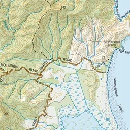
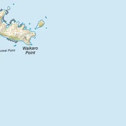
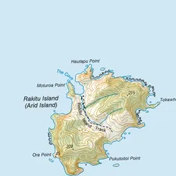
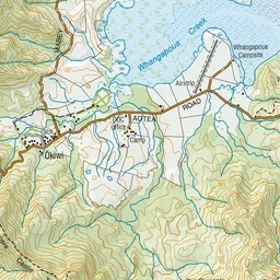
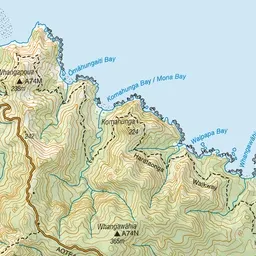
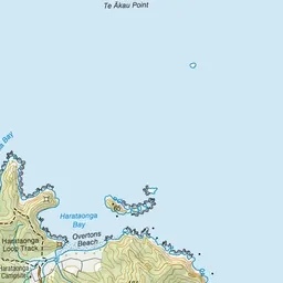
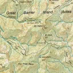
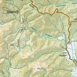
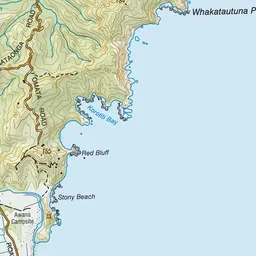
Pink: the track. Green dot: the start. Blue: campsites.
About the track
The Harataonga Coastal Walkway is a popular walk on the eastern coast. It has magnificent coastline views.
Campsites
- Harataonga Campsite (15 m)
Harataonga Coastal Walkway on DOC's website, for track alerts, bookings and closures.