 Ridgeflow
Harman Pass Route
Canterbury · New Zealand
Distance43.4 km (27 mi)all 4 sections
Climb1,528 m (5,013 ft)548 m (1,798 ft) down
High point1,313 m (4,308 ft)lowest 176 m (577 ft)
DOC's time3 - 4 daysas DOC publishes it
GradeExpertDOC
This track is mapped in 4 separate sections, so there is no single profile or walking time. Climb is added up section by section.
Map
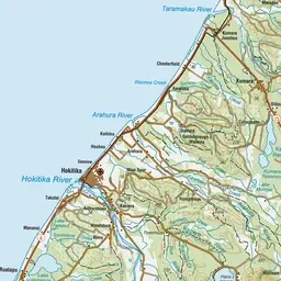
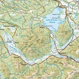

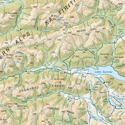
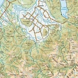

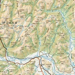
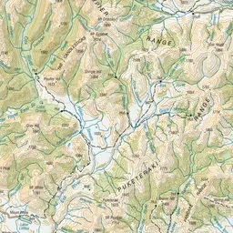

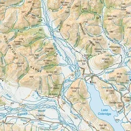
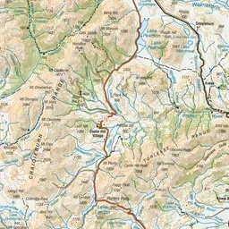
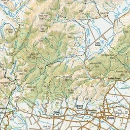
Pink: the track. Orange: huts.
About the track
This route takes you from the open east-coast river flats over a rugged, untracked alpine pass into the rainforest of the Taipo River.
Huts on or near the track
- Julia Hut (598 m)
- Carrington Hut (819 m, bookable)
- Dillons Homestead Hut (239 m)
- Julia Hut (Old) (606 m)
- Dillon Hut (239 m)
- Anti Crow Hut (700 m, bookable)
- Mid Taipo Hut (378 m)
Harman Pass Route on DOC's website, for track alerts, bookings and closures.