 Ridgeflow
Harper Pass Route
West Coast · New Zealand
Distance60.6 km (37.7 mi)all 2 sections
Climb1,183 m (3,881 ft)1,015 m (3,330 ft) down
High point970 m (3,182 ft)lowest 253 m (830 ft)
DOC's time4-5 daysas DOC publishes it
GradeAdvancedDOC
This track is mapped in 2 separate sections, so there is no single profile or walking time. Climb is added up section by section.
Map
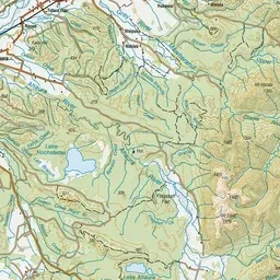
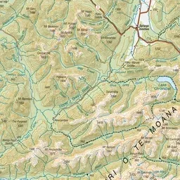
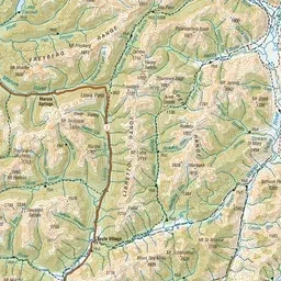
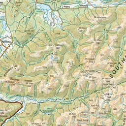
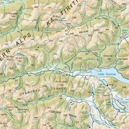
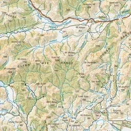
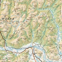
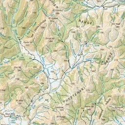
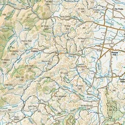
Pink: the track. Orange: huts.
About the track
Harper Pass was the main pathway to and from the west coast for Māori when trading for pounamu (greenstone). Follow this historic route from west to east. River-crossing skills are essential. This track is part of Te Araroa Trail.
Huts on or near the track
- Locke Stream Hut (499 m)
- Hurunui Hut (611 m)
- Camerons Hut (699 m)
- Harper Pass Bivvy (840 m)
- Hope Kiwi Lodge (639 m, bookable)
- Hurunui No. 3 Hut (643 m)
- Hope Halfway Hut (569 m)
Harper Pass Route on DOC's website, for track alerts, bookings and closures.