 Ridgeflow
Harper Pass Track
West Coast · New Zealand
Distance20.6 km (12.8 mi)along the line
Climb215 m (705 ft)608 m (1,995 ft) down
High point970 m (3,182 ft)lowest 564 m (1,850 ft)
DOC's time7 hr 30 minas DOC publishes it
Walking time5 h 30 minone way, moving, our estimate
GradeAdvancedDOC
Elevation profile
Map
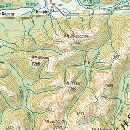
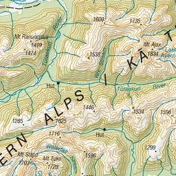
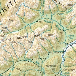
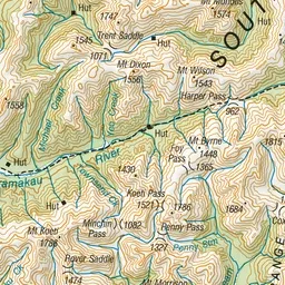
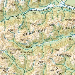
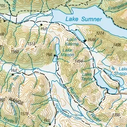
Pink: the track. Green dot: the start. Orange: huts.
About the track
This track runs from Hurunui swing bridge to Harper Pass. It is popular for day walks or overnight stays in three huts. This track is part of Te Araroa Trail.
Huts on or near the track
- Hurunui Hut (611 m)
- Camerons Hut (699 m)
- Harper Pass Bivvy (840 m)
- Hurunui No. 3 Hut (643 m)
Harper Pass Track on DOC's website, for track alerts, bookings and closures.