 Ridgeflow
Harwoods Hole Track
Tasman · New Zealand
Distance2.7 km (1.7 mi)along the line
Climb65 m (213 ft)39 m (128 ft) down
High point757 m (2,484 ft)lowest 714 m (2,343 ft)
DOC's time1.5 hrsas DOC publishes it
Walking time47 minone way, moving, our estimate
GradeEasyDOC
Elevation profile
Map
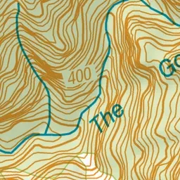
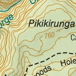
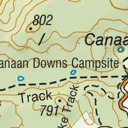
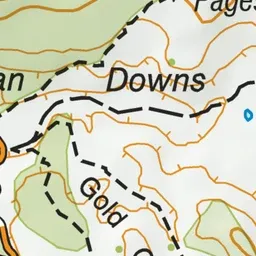
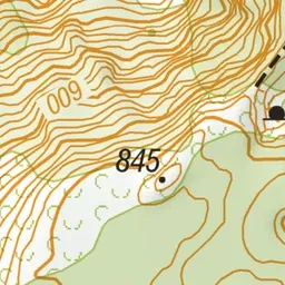



Pink: the track. Blue: campsites.
About the track
This track leads to a view of the Harwoods Hole natural amphitheatre, the cliffs that surround the deepest vertical shaft in New Zealand. There are no views down into the shaft. Extreme care is required.
Campsites
- Canaan Downs Campsite (739 m)
Harwoods Hole Track on DOC's website, for track alerts, bookings and closures.