 Ridgeflow
Hāwea River Track
Otago · New Zealand
Distance5.3 km (3.3 mi)along the line
Climb9 m (30 ft)39 m (128 ft) down
High point329 m (1,079 ft)lowest 290 m (951 ft)
DOC's time3–4 hr one wayas DOC publishes it
Walking time1 h 21 minone way, moving, our estimate
GradeEasyDOC
Elevation profile
Map
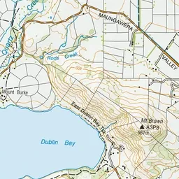
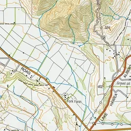
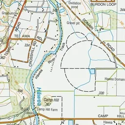
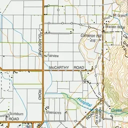
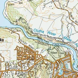
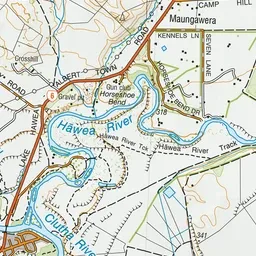
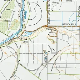
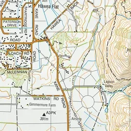
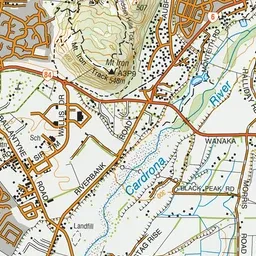
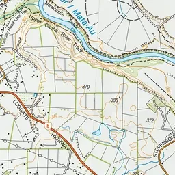
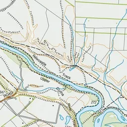
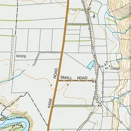
Pink: the track. Green dot: the start.
About the track
Suitable for all ages and experience levels, this gentle riverside track links Albert Town to Hāwea. This track is part of Te Araroa Trail.
Hāwea River Track on DOC's website, for track alerts, bookings and closures.