 Ridgeflow
Heaphy Track
West Coast · New Zealand
Distance73.6 km (45.7 mi)all 16 sections
Climb1,953 m (6,407 ft)2,071 m (6,795 ft) down
High point950 m (3,117 ft)lowest 4 m (13 ft)
DOC's time4-6 daysas DOC publishes it
GradeIntermediateDOC
This track is mapped in 16 separate sections, so there is no single profile or walking time. Climb is added up section by section.
Map

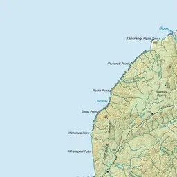
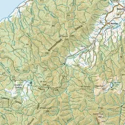
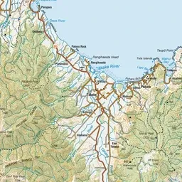

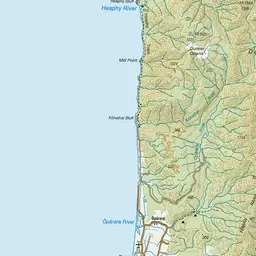
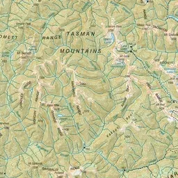
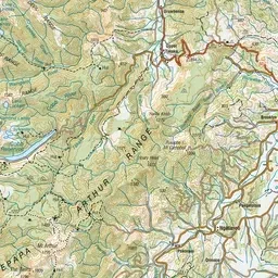
Pink: the track. Orange: huts. Blue: campsites.
About the track
Kahurangi National Park's Great Walk: Brown Hut to Kohaihai through tussock downs, beech forest and nikau palms on the West Coast.
Huts on or near the track
- Brown Hut (139 m, bookable)
- Heaphy Hut (16 m, bookable)
- Saxon Hut (707 m, bookable)
- James Mackay Hut (703 m, bookable)
- Gouland Downs Hut (626 m, bookable)
- Perry Saddle Hut (890 m, bookable)
Campsites
- Brown Campsite (139 m)
- Scotts Beach Campsite (24 m)
- James Mackay Campsite (704 m)
- Perry Saddle Campsite (889 m)
- Saxon Campsite (704 m)
- Aorere Shelter Campsite (804 m)
- Gouland Downs Campsite (626 m)
- Heaphy Campsite (16 m)
- Kōhaihai Campsite (16 m)
- Katipo Creek Shelter Campsite (11 m)
Heaphy Track on DOC's website, for track alerts, bookings and closures.