 Ridgeflow
Helena Falls Track
Southland · New Zealand
Distance1 km (0.6 mi)along the line
Climb15 m (49 ft)31 m (102 ft) down
High point41 m (135 ft)lowest 10 m (33 ft)
DOC's time2 hr returnas DOC publishes it
Walking time17 minone way, moving, our estimate
GradeAdvancedDOC
Elevation profile
Map
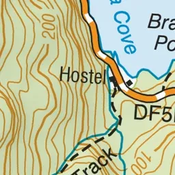
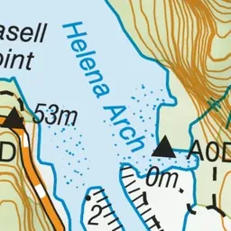
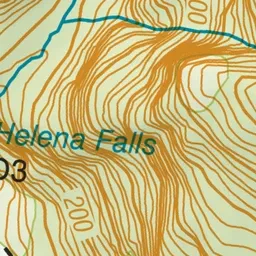
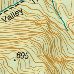
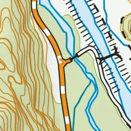
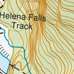
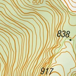
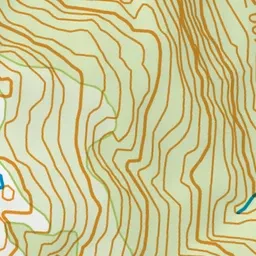
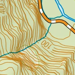
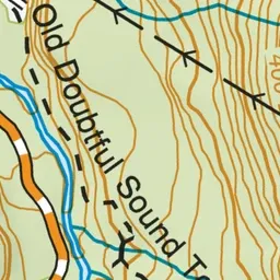
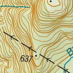
Pink: the track. Green dot: the start.
About the track
This hiking track in Deep Cove, Doubtful Sound leads around the cove to a stream looking up to Helena Falls.
Helena Falls Track on DOC's website, for track alerts, bookings and closures.