 Ridgeflow
Heyward Point Track
Otago · New Zealand
Distance4.2 km (2.6 mi)all 2 sections
Climb438 m (1,437 ft)82 m (269 ft) down
High point226 m (741 ft)lowest 9 m (30 ft)
DOC's time2 hras DOC publishes it
GradeAdvancedDOC
This track is mapped in 2 separate sections, so there is no single profile or walking time. Climb is added up section by section.
Map
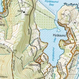
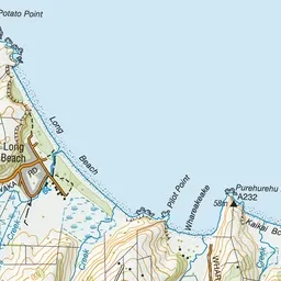
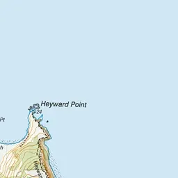

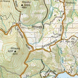
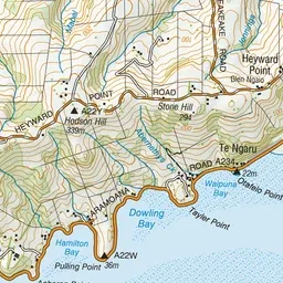
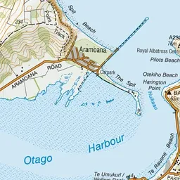
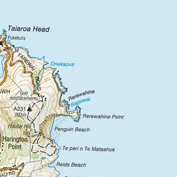
Pink: the track.
About the track
This cliff top track, through farm land and regenerating forest, offers great coastal views.
Heyward Point Track on DOC's website, for track alerts, bookings and closures.