 Ridgeflow
Historic Haast to Paringa Cattle Track
West Coast · New Zealand
Distance33.1 km (20.6 mi)along the line
Climb1,182 m (3,878 ft)1,269 m (4,163 ft) down
High point706 m (2,316 ft)lowest 12 m (39 ft)
DOC's time3 daysas DOC publishes it
Walking time10 h 15 minone way, moving, our estimate
GradeAdvancedDOC
Elevation profile
Map
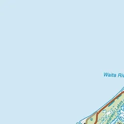
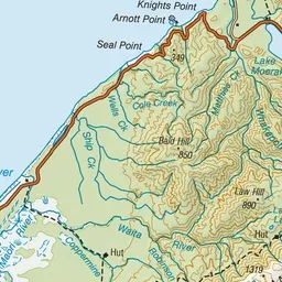
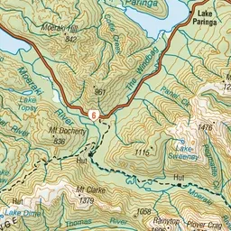
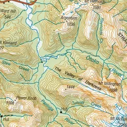
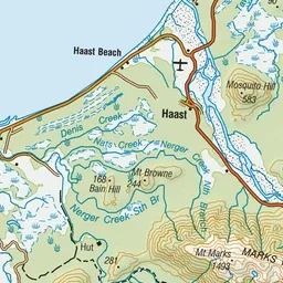
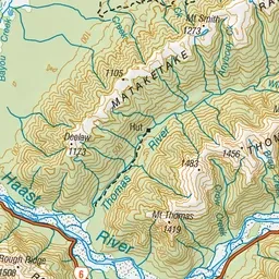
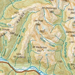
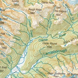
Pink: the track. Green dot: the start. Orange: huts.
About the track
This track was built in 1875 by farmers at Haast. Stock were driven from the Landsborough and Cascade valleys to sale yards at Whataroa.
Huts on or near the track
- Coppermine Creek Hut (55 m)
- Maori Saddle Hut (617 m)
- Blowfly Hut (120 m)
Historic Haast to Paringa Cattle Track on DOC's website, for track alerts, bookings and closures.