 Ridgeflow
Holdsworth - Kaitoke Track
Wellington · New Zealand
Distance36 km (22.3 mi)all 5 sections
Climb1,232 m (4,042 ft)1,623 m (5,325 ft) down
High point757 m (2,484 ft)lowest 145 m (476 ft)
DOC's time2-3 daysas DOC publishes it
GradeAdvancedDOC
This track is mapped in 5 separate sections, so there is no single profile or walking time. Climb is added up section by section.
Map
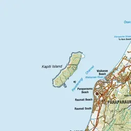
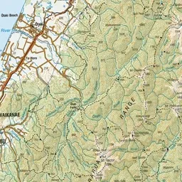
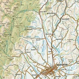
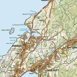
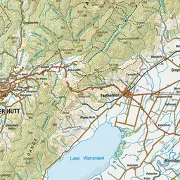
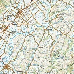
Pink: the track. Orange: huts. Blue: campsites.
About the track
This is one of the classic hikes of the Tararua Forest Park. It follows the Waiohine and Tauwharenīkau rivers between Holdsworth and Kaitoke.
Huts on or near the track
- Totara Flats Hut (201 m, bookable)
- Tutuwai Hut (305 m)
- Sayer Hut (197 m)
- Cone Hut (348 m)
Campsites
- Waiohine Gorge Campsite (170 m)
Holdsworth - Kaitoke Track on DOC's website, for track alerts, bookings and closures.