 Ridgeflow
Hollyford Track
Southland · New Zealand
Distance56.6 km (35.2 mi)all 8 sections
Climb894 m (2,933 ft)965 m (3,166 ft) down
High point161 m (528 ft)lowest 1 m (3 ft)
DOC's time4-5 daysas DOC publishes it
GradeAdvancedDOC
This track is mapped in 8 separate sections, so there is no single profile or walking time. Climb is added up section by section.
Map

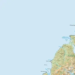
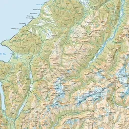
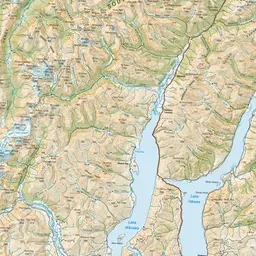
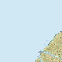
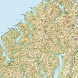
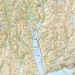
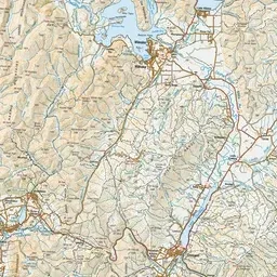
Pink: the track. Orange: huts.
About the track
Lower Hollyford Road to Martins Bay past Hidden Falls, Lake Alabaster and the Demon Trail — a hiking adventure a little off the beaten track, with huts the whole way.
Huts on or near the track
- Hidden Falls Hut (48 m, bookable)
- Hokuri Hut (20 m, bookable)
- Demon Trail Hut (6 m, bookable)
- Martins Bay Hut (12 m, bookable)
- Lake Alabaster Hut (22 m, bookable)
- Mckerrow Island Hut (8 m)
Hollyford Track on DOC's website, for track alerts, bookings and closures.