 Ridgeflow
Hooker Valley Track
Canterbury · New Zealand
Distance4.9 km (3 mi)along the line
Climb156 m (512 ft)32 m (105 ft) down
High point886 m (2,907 ft)lowest 760 m (2,493 ft)
DOC's time1 hr returnas DOC publishes it
Walking time1 h 29 minone way, moving, our estimate
GradeEasyDOC
Elevation profile
Map
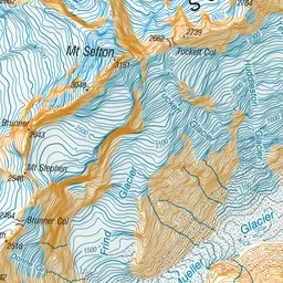
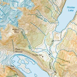
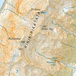
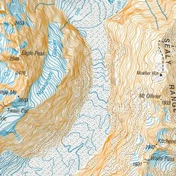
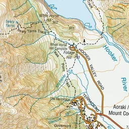
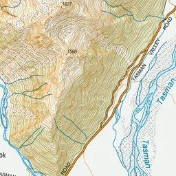
Pink: the track. Green dot: the start. Blue: campsites.
About the track
Enjoy awe-inspiring landscapes and stunning views of Mueller Glacier and Kakīroa/Mount Sefton. This track currently ends at Kakīroa/Mount Sefton View Lookout, while a new bridge is being built.
Campsites
- White Horse Hill Campsite (775 m)
Hooker Valley Track on DOC's website, for track alerts, bookings and closures.