 Ridgeflow
Horokaka Track
Northland · New Zealand
Distance4.8 km (3 mi)along the line
Climb97 m (318 ft)525 m (1,722 ft) down
High point540 m (1,772 ft)lowest 111 m (364 ft)
DOC's time3 hr 45 min one wayas DOC publishes it
Walking time1 h 24 minone way, moving, our estimate
GradeAdvancedDOC
Elevation profile
Map
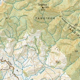
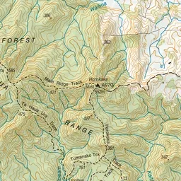
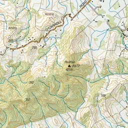
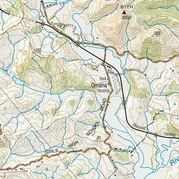
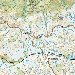
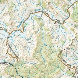
Pink: the track.
About the track
Horokaka Track is a challenging track that includes strenuous climbing. The track leads up to an old logging road and then follows the ridge to the Horokaka Transmitter.
Horokaka Track on DOC's website, for track alerts, bookings and closures.