 Ridgeflow
Huka Falls to Aratiatia Rapids Track
Waikato · New Zealand
Distance6.2 km (3.9 mi)along the line
Climb85 m (279 ft)94 m (308 ft) down
High point383 m (1,257 ft)lowest 336 m (1,102 ft)
DOC's time10 min | 2 hras DOC publishes it
Walking time1 h 42 minone way, moving, our estimate
GradeEasyDOC
Elevation profile
Map
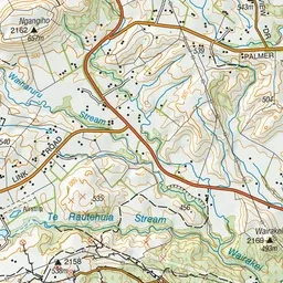
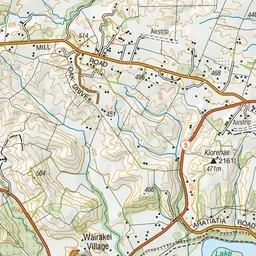
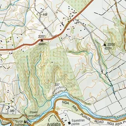
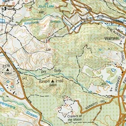
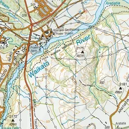
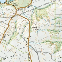
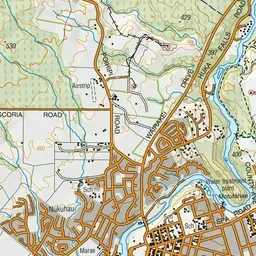
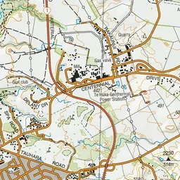
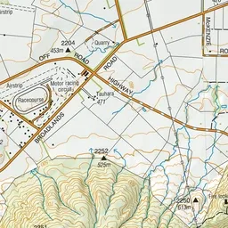
Pink: the track. Green dot: the start.
About the track
Several times a day the gates at the Aratiatia dam are opened to release the full flow of the river - a spectacular sight from the lookout points. Stay safe and keep clear of the rapids at all times.
Huka Falls to Aratiatia Rapids Track on DOC's website, for track alerts, bookings and closures.